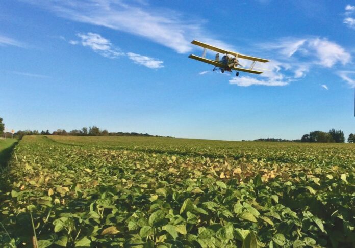
A pilot project in Ontario is collecting images from manned aircraft at 10,000 feet
The chance to gain a bird’s-eye view of a growing crop is one of the biggest attractions of precision agriculture, but the degree of precision depends on the tools. So far, growers and advisors have had a choice of either satellite images or those from drones or unmanned aerial vehicles (UAVs). Each has advantages and disadvantages. Satellite images are hampered by cloud cover and resolutions as low as 10 metres. UAVs or drones can provide sub-inch resolution, but are limited to several hundred acres per day. Drones are also restricted near airports.
An intermediate option is being tested in a pilot project to use aircraft to take images from higher than a drone but lower than a satellite. The project is managed by Veritas Farm Management, based in Chatham, Ont. and owned by Deveron Corp. It’s working with Ceres Imaging to provide intermediate-level imagery of 25,000 acres of subscriber fields across southern Ontario during the 2021 growing season. Flights began in late June, with subsequent flyovers of the same fields planned for late July and late August.
Read More at country-guide.ca


